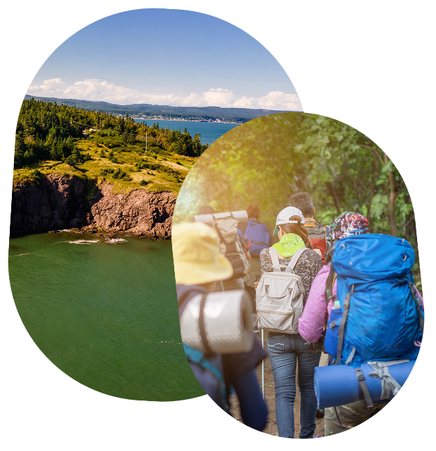
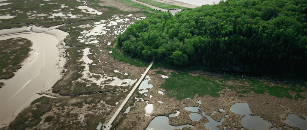



Welcome to Our Beautiful Geopark!

Pro-Tip
Click the pins on the left for more details, or browse our categories below!
Map Disclaimer:
Map content (including map data, traffic, directions, and places) is provided for planning purposes only. You may find that weather conditions, construction projects, closures, or other events may cause road conditions or directions to differ from the results depicted in the Content. You should exercise judgment in your use of the Content.
Direction accuracy varies from location to location. Most of the time geolocation technology can pinpoint your location to within feet. However, in other areas it might be much more than that. It’s typically a little more accurate on mobile devices (smart phones and tablets) than it is on desktop computers.
Our Geosite Field Guide

Each geosite highlights unique landscapes, geology, and stories shaped over millions of years, making it easy to plan your next adventure!
Show All Geosites
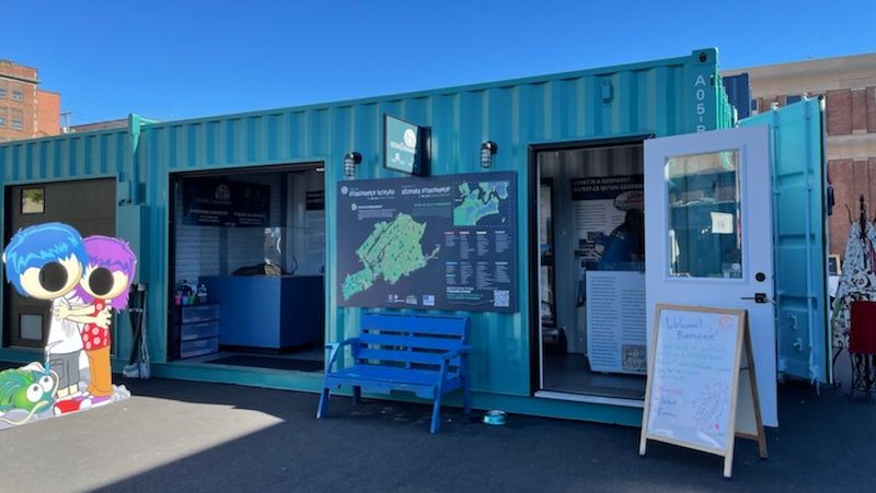
Uptown Saint John
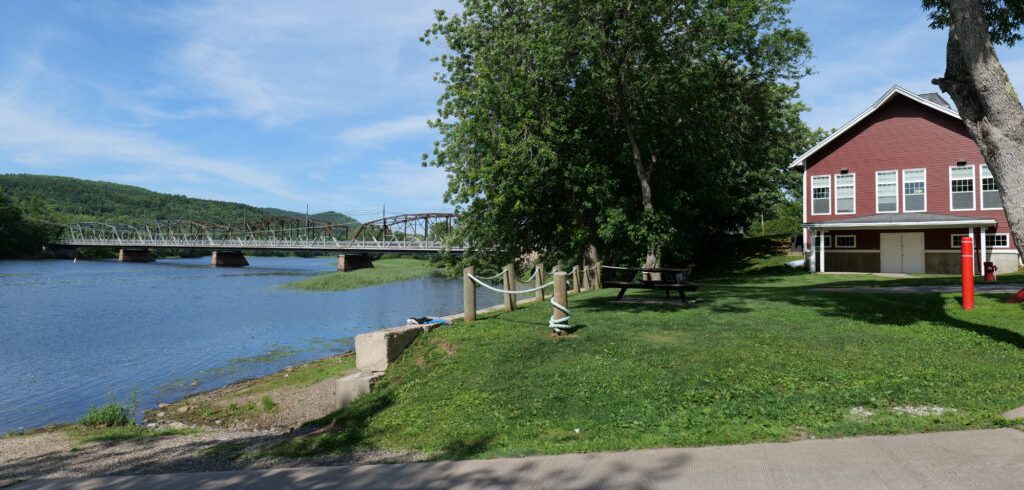
Play Video Brundage Point River Centre Details Nearby: Address: GPS:…
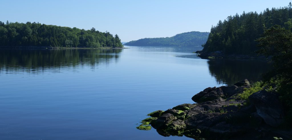
Tucker Park
Tucker Park Nearby: Address: GPS: , Tucker Park is one…
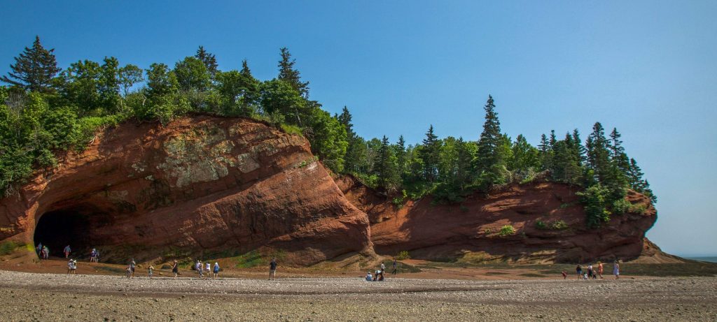
St. Martins
Play Video St. Martins Nearby: Address: GPS: , St. Martins…
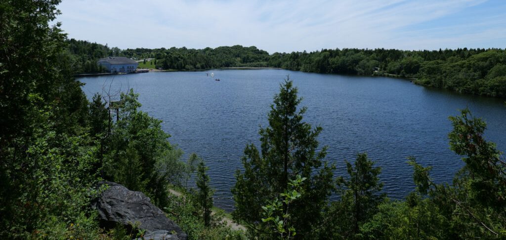
Rockwood Park
Play Video Rockwood Park Nearby: Address: GPS: , View Website…
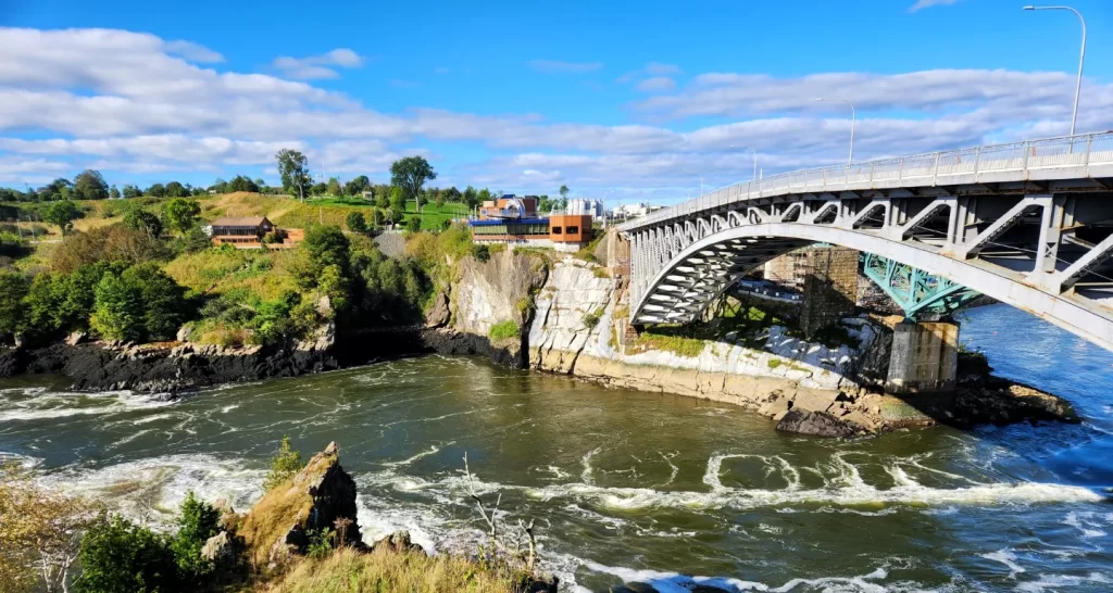
Reversing Falls
Play Video Reversing Falls Nearby: Address: GPS: , The Reversing…
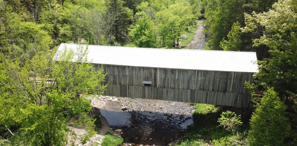
Norton Moosehorn Creek
Play Video Norton Moosehorn Creek Nearby: Address: GPS: , Norton…
exhibits
So Many Exhibits to Explore!
Stay connected with public events, workshops, and pop-ups happening across the Geopark.


It’s Not Just Rocks, It’s an Amazing Story!
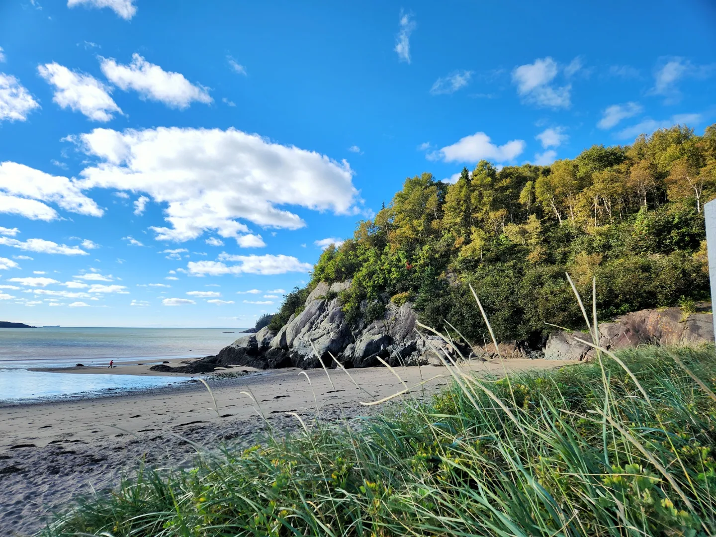
Learn all about the billion year geological history of the Stonehammer Geopark region, and uncover all kinds of cool and interesting things that have happened right under your feet!
Here’s Some
Interesting Facts...

Did You Know...
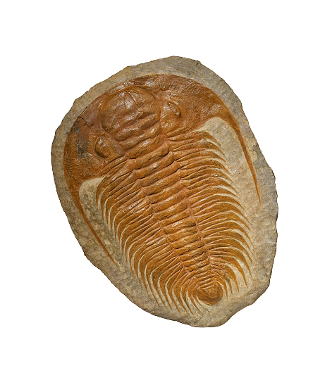
That some of the first Cambrian trilobites in Canada were discovered in the geopark in 1863?
Did You Know...
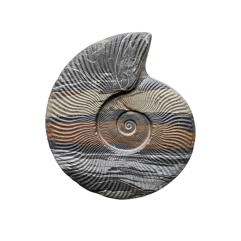
That the geological history preserved in the rocks and fossils of Stonehammer dates back to 1 billion years?
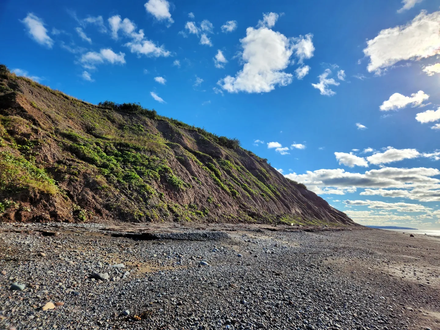
Did You Know...
That there is a geological record of the closing of the ancient lapetus Ocean and the opening of the modern Atlantic Ocean?
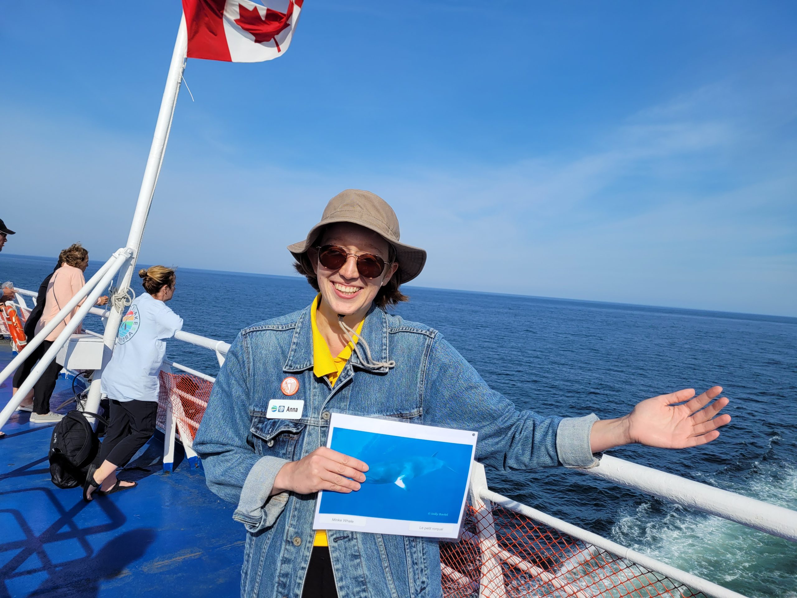
Did You Know...
That Stonehammer has some of the oldest fossils of reptile footprints in the world?
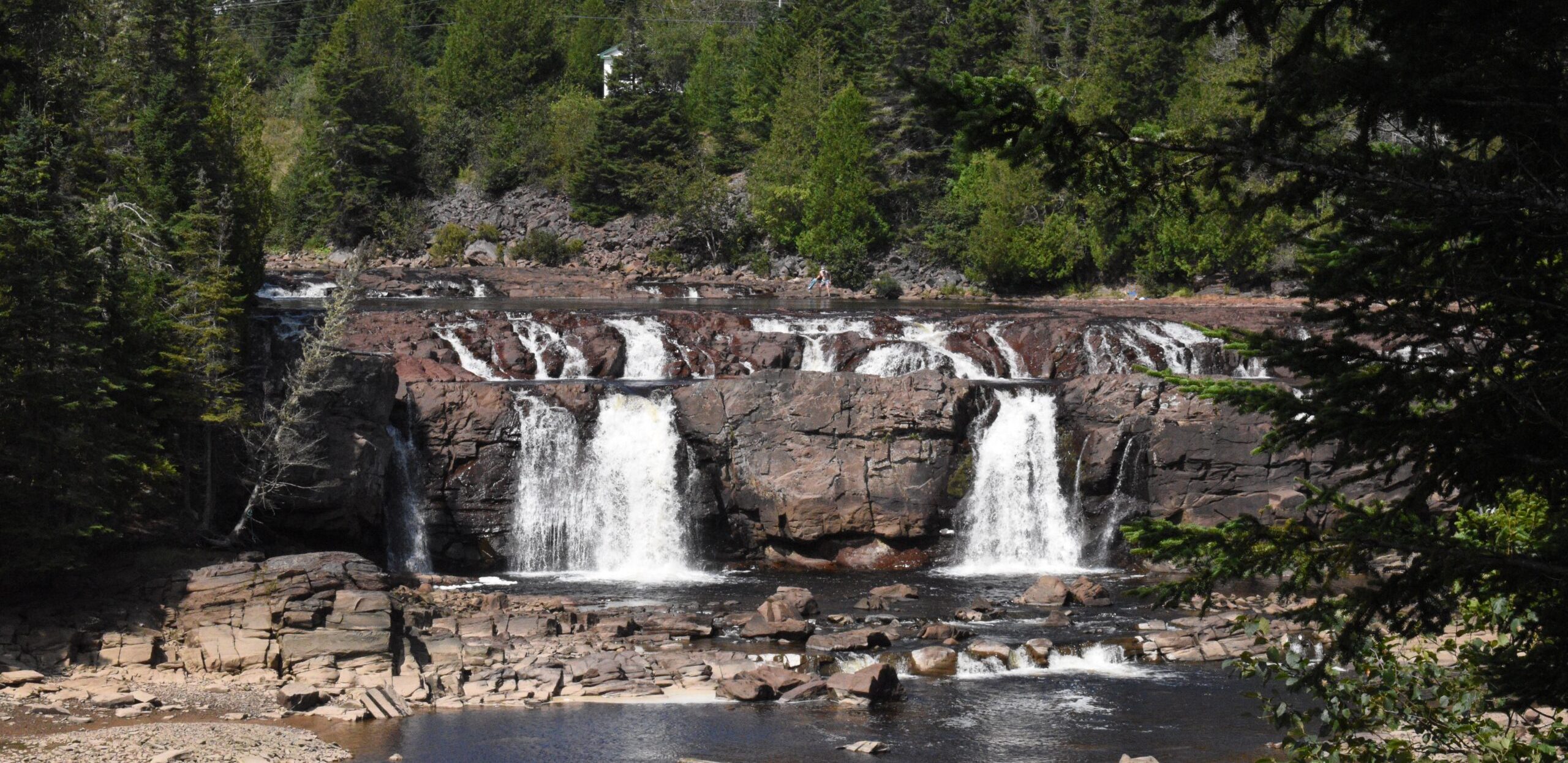
Did You Know...
That the Carboniferous time period is named for the high carbon content of widespread deposits of coal?
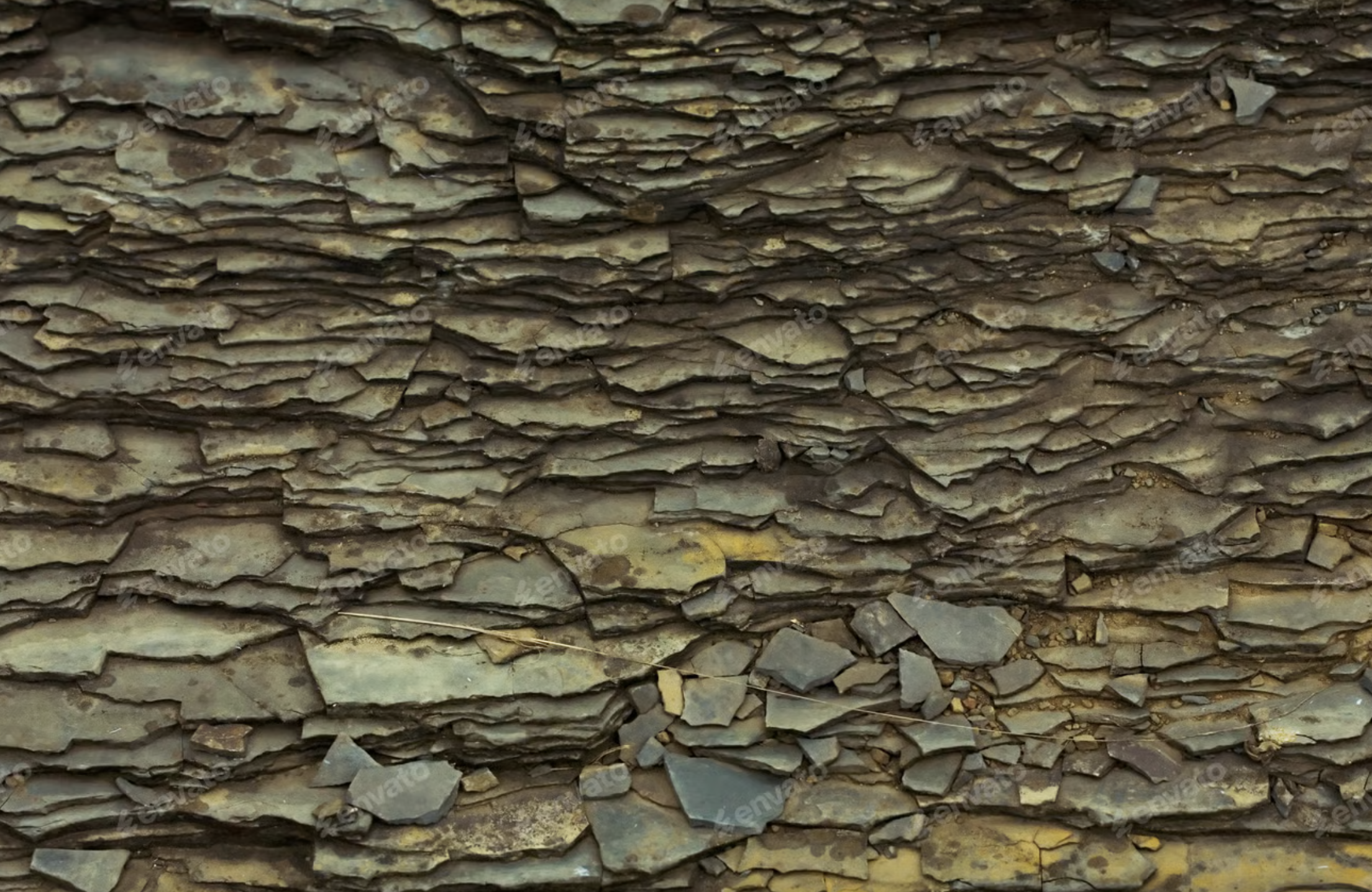
Did You Know...
That there are 60 geosites in Stonehammer?
Ready to Explore the Geopark?

Whether you’re planning a family outing or a deep-dive into geology, your Southern New Brunswick adventure starts here.